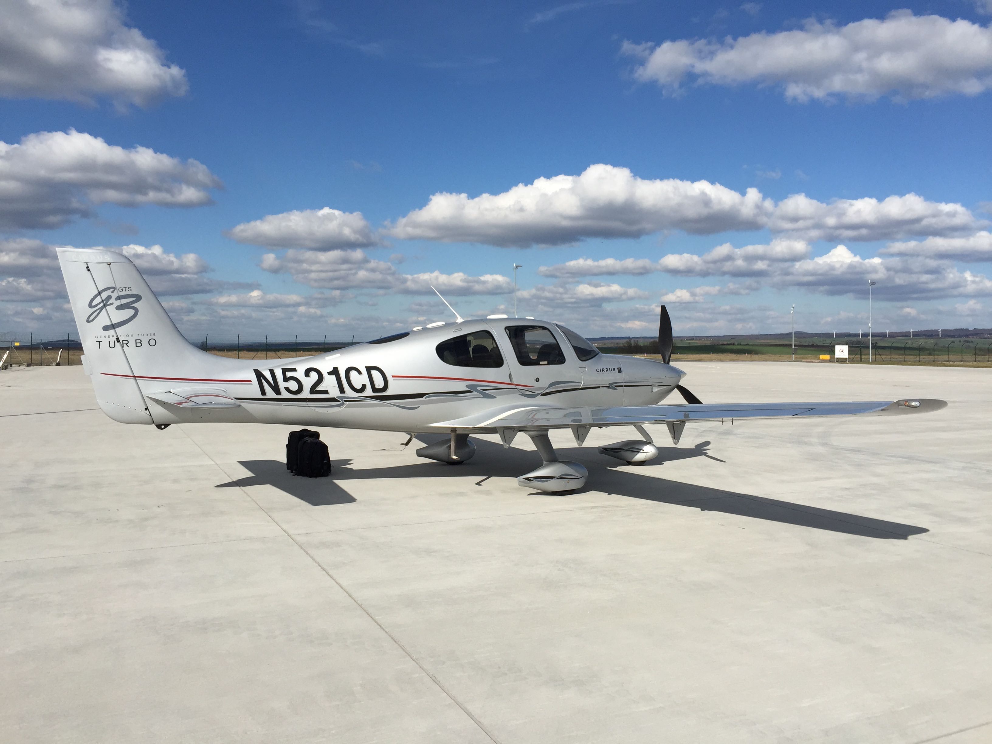
Taking delivery of N521CD
On Friday April 3 2015 I took delivery of a very nice Cirrus SR22 Turbo-Normalized aircraft. It is equipped with a TKS anti-icing system and the Avidyne R9 integrated flight deck. The engine delivers 310hp and its service ceiling is 25,000 ft.
The following is an account of my flight from Gloucester, UK (EGBJ) to Kassel, Germany (EDVK) to take the aircraft home.
IFR routing
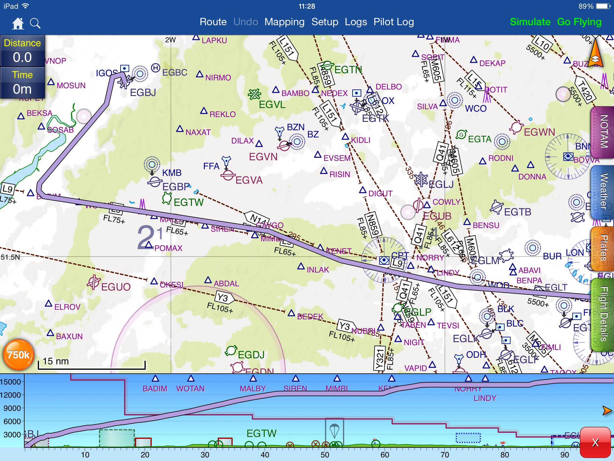
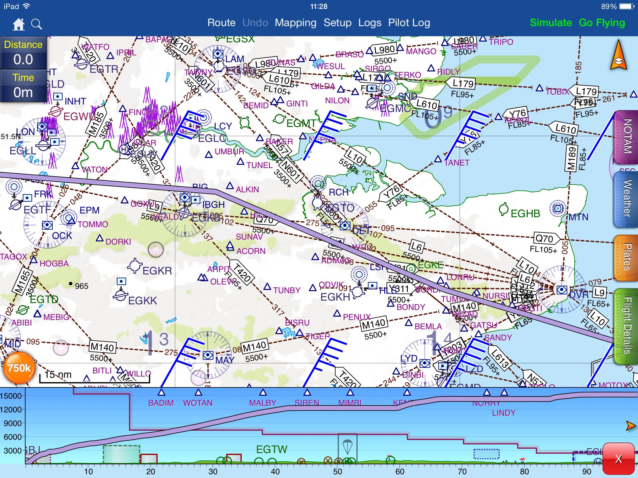
The routing for this flight was:
EGBJ N0165F090 BADIM/N0168F110 L9 WOTAN/N0172F140 L9 MALBY/N0174F150 L9 BIG/N0172F140 L9 DVR L10 RINTI DCT
KONAN/N0169F120 L607 KOK/N0172F140 DCT NIK L179 DIBIR Z282 LMA DCT MISGO/N0171F130 DCT BARAG Z858
ARNOP/N0168F110 Z858 NUDGO/N0164F080 Z858 ESADU/N0163F070 Z858 ROSUX EDVK
That makes it a distance of 476.6 NM with a calculated flight time of 2 hours 55 minutes.
The weather forecast looked quite good:
In retrospect I can confirm that the forecast was accurate.
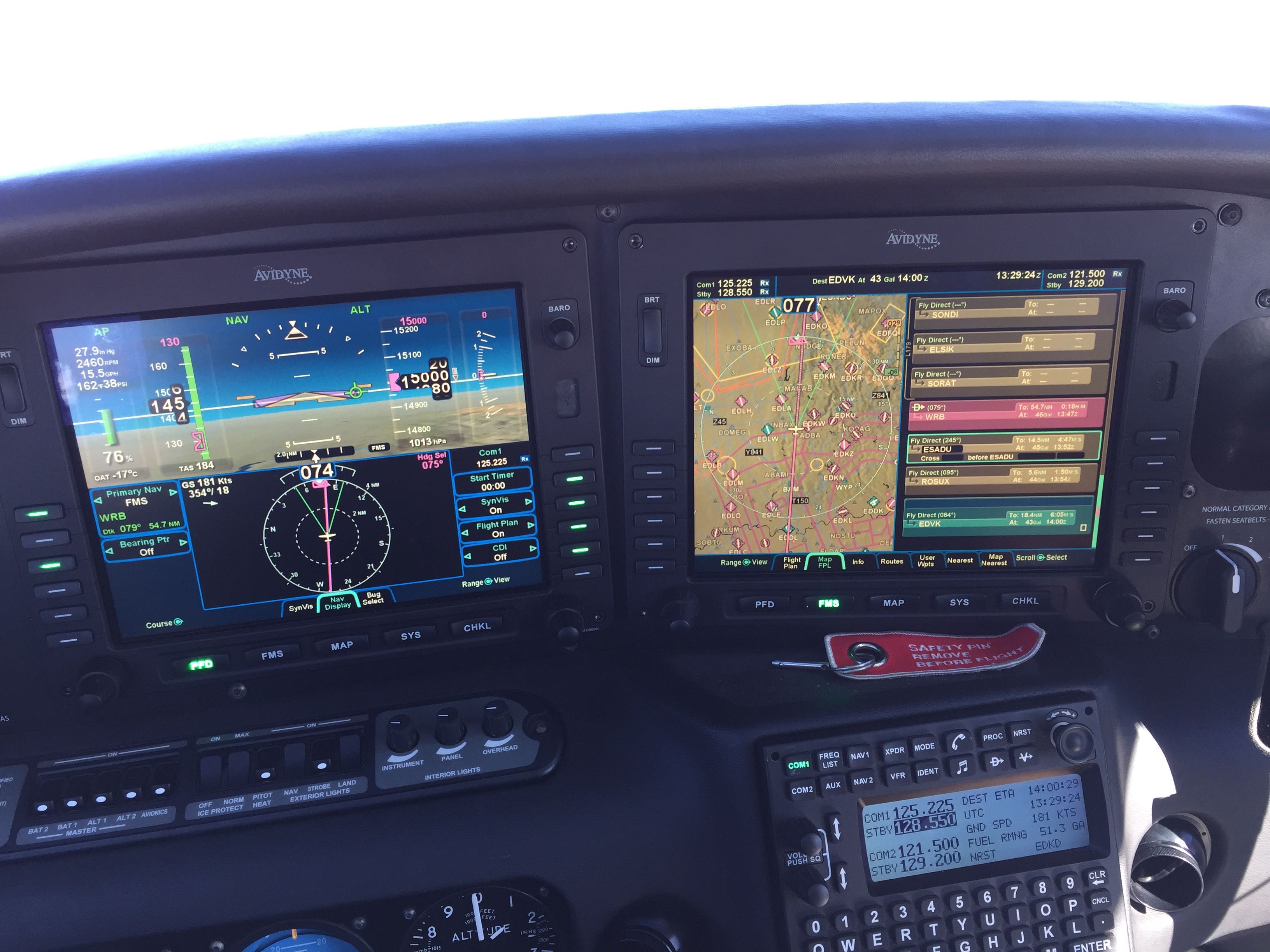
Screens everywhere
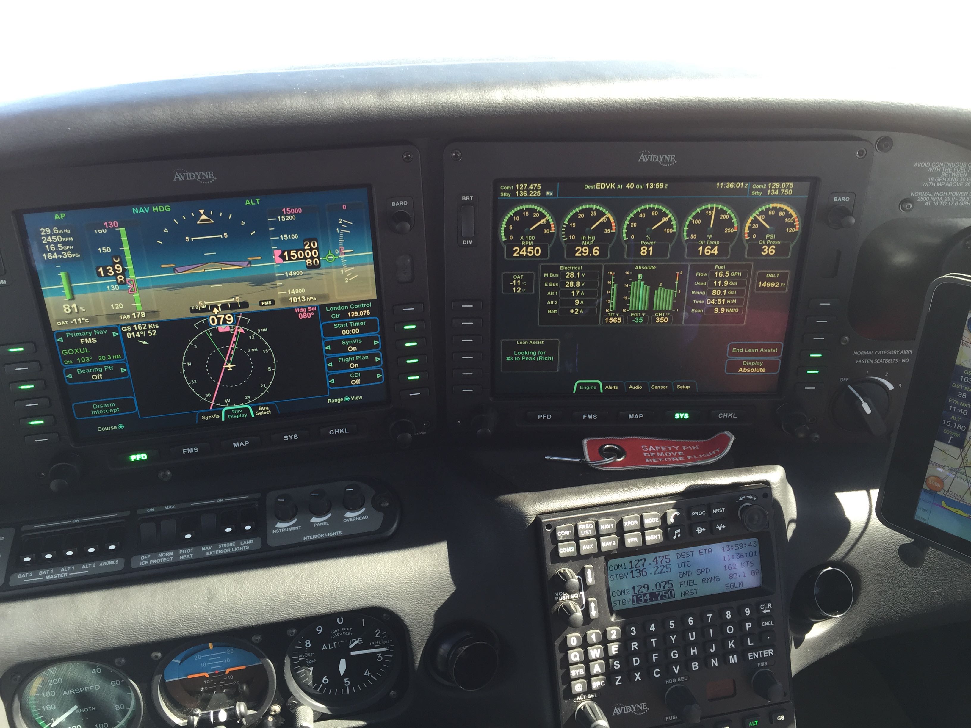
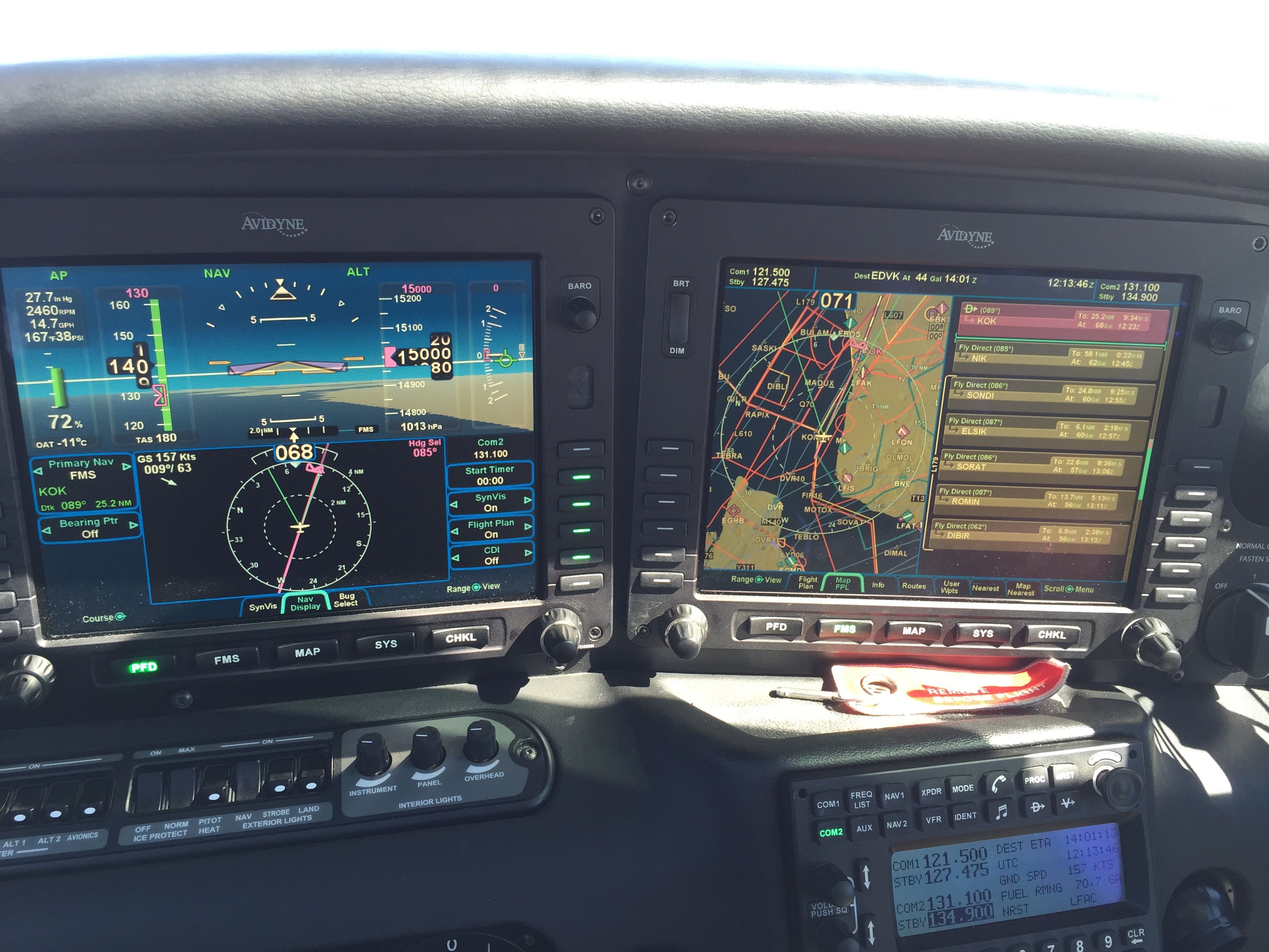
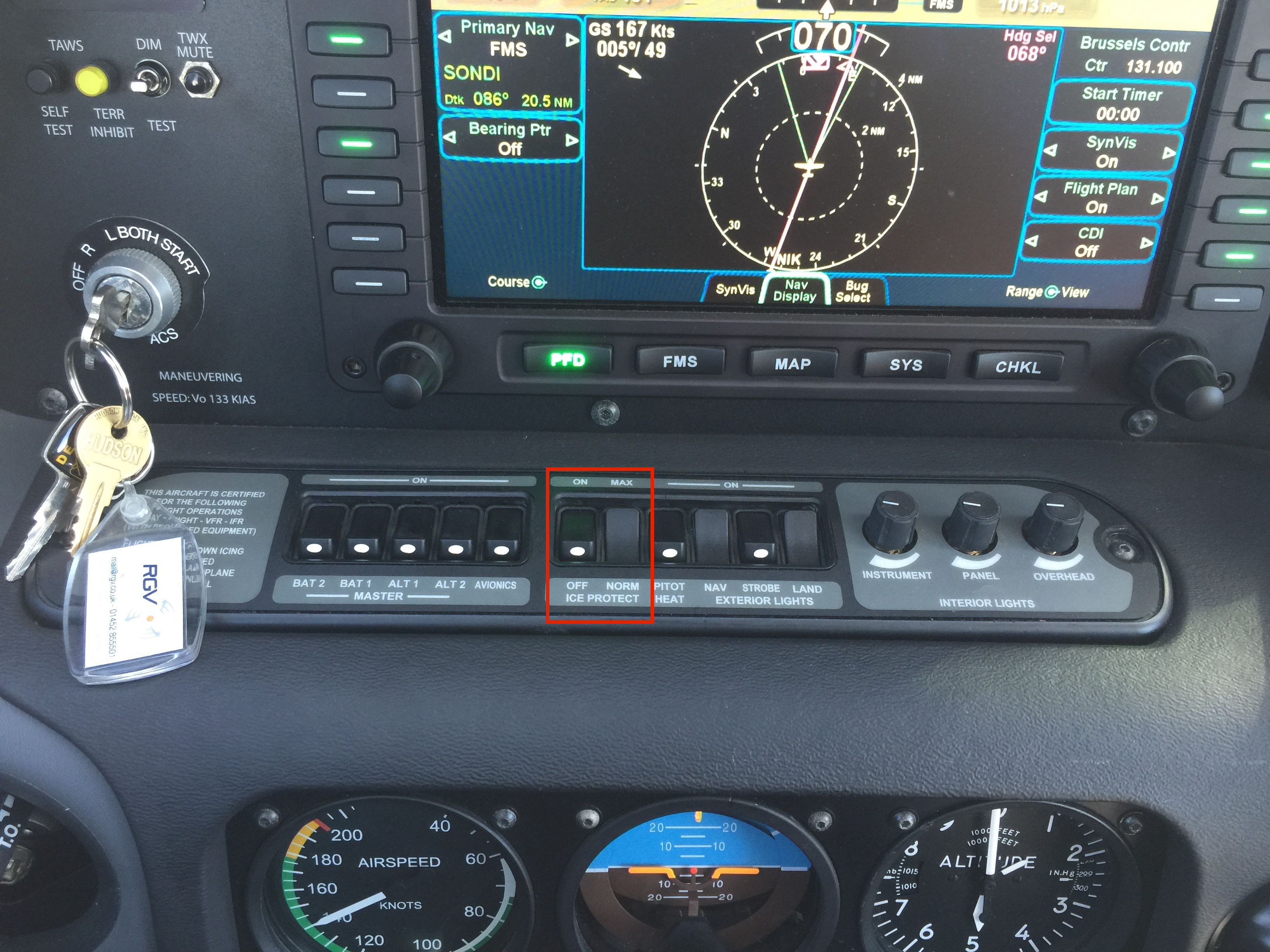
N521CD came equipped with the Avidyne R9 integrated flight deck. The R9 features two computer screens in front of the pilot to substitute the traditional six instruments that allow the pilot to control the airplane without visibility to the outside. A lot of additional functionality is added by the system. Who wants to learn more about it may visit Avidyne’s product page for R9.
I had the shop modify the right side of the panel. There used to be some sort of glove box, which I had removed and instead of it there is now a stable mounting ball to attach an iPad. Slightly below and to the right of the ball are two USB ports. They are certified (TSO) for airplane use and provide enough power to charge devices without creating a potential safety hazard.
The iPad is now within easy reach of the pilot and I can use it to display a VFR moving map. That’s what you can see in the picture. I also use it to look up documentation or as a backup solution should something of the R9 software fail.
The picture was taken after I had broken out of the clouds and the autopilot was flying the turn onto the L9 airway towards the reporting point MALBY in the vicinity of Bristol, UK.
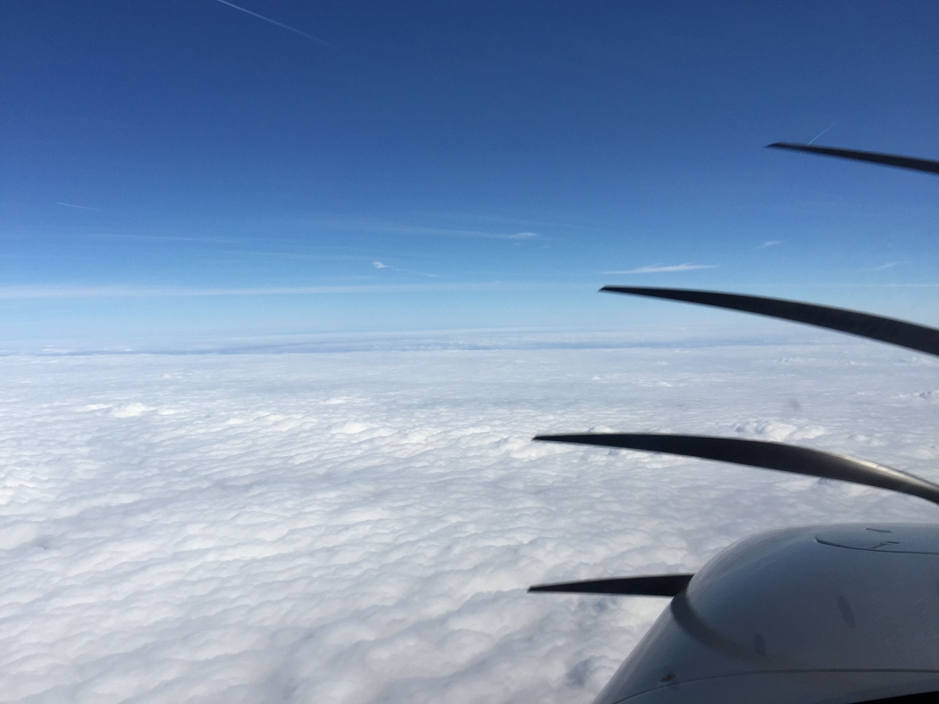
Talking to London Control above the clouds
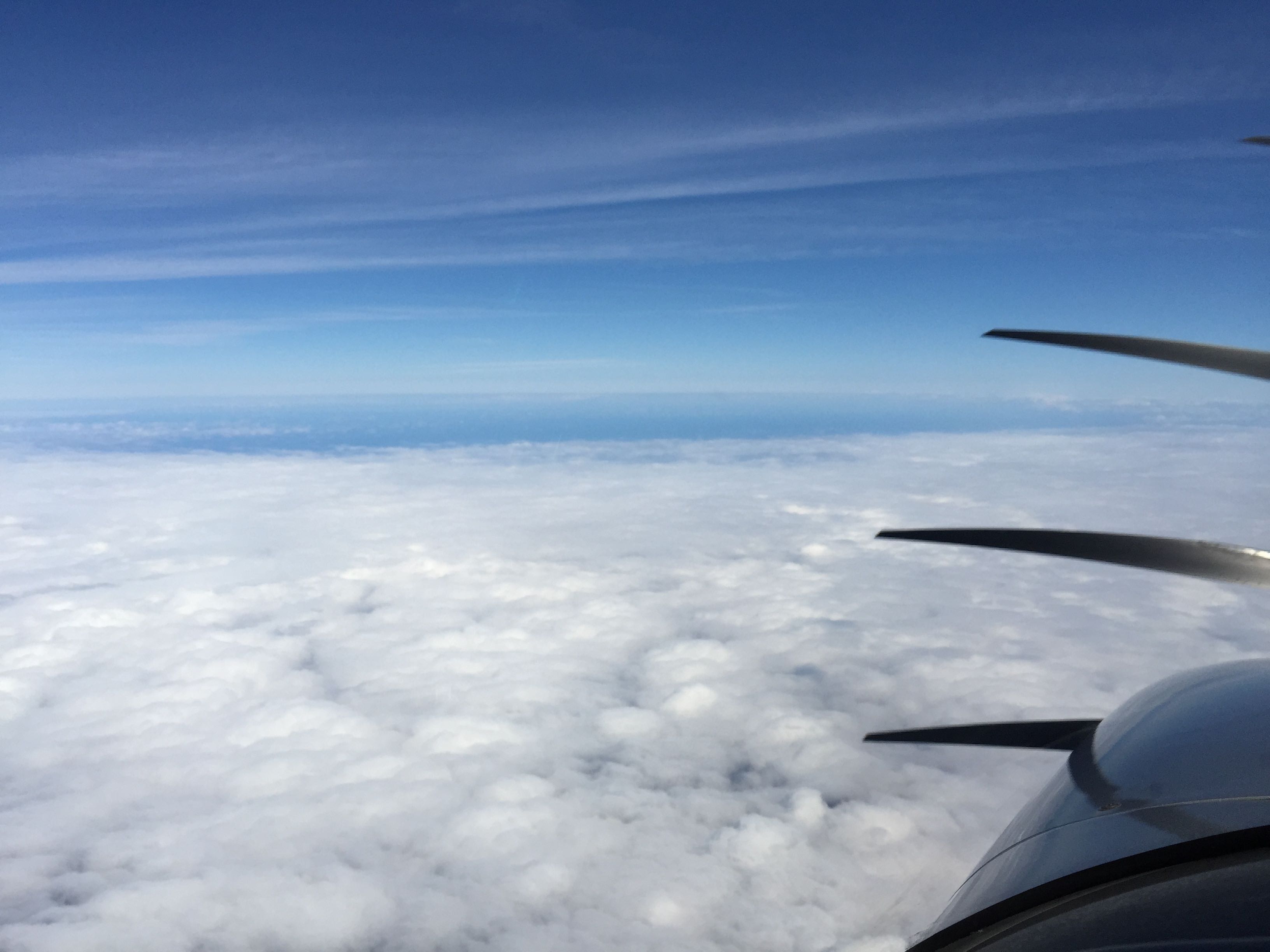
Just as the friendly folks at EuroGA had explained to me I had been handed off quickly from lower airspace radar and approach units to London Control. On their frequency I was to enjoy their conversations with EasyJet, Ryanair, Speedbird (callsign of British Airways) and others. Here and there I saw airliners on my Skywatch TAS system depicted as climbing or descending targets. At one point I saw one far below me passing left to right but didn’t catch it on camera.
May we send you up to FL150?
During the initial contact London Control was asking me about my requested altitude. The previous unit had sent me to FL120 and I responded that I’m happy at FL120. I was using the built-in oxygen system for the first time and somehow I felt that going higher at this time was not really necessary. I was way above the clouds in the sunshine. Going higher would put me at an altitude where oxygen was really required while at 12,000 ft I could still get by without.
As I was getting closer to the London TMA London Control was asking me whether they can send me to FL150 if they needed to for traffic separation and I affirmed that it were no problem. And indeed after a few more minutes they did sent me up there. The oxygen flow was good and so I accepted.
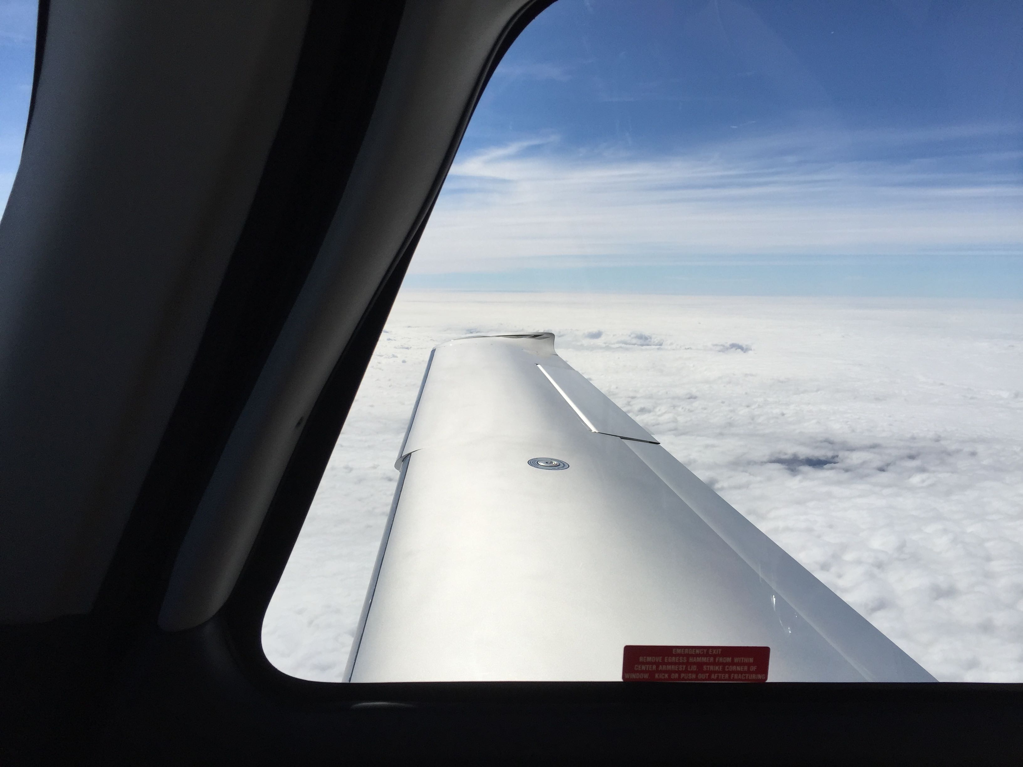
3,000ft higher didn’t change the scenery much. But as I was now approaching the cost to cross the English Channel being a bit higher wasn’t a bad thing.
Good speed and low fuel flow
Up at FL150 I was making 180 kts TAS with the engine running at 72% consuming only 14.7 US gallons per hour of fuel.
I need to practice operating the turbo-normalized engine. I did play with a few different settings based on what I had been reading before. I do need more knowledge and practice though.
At the very end the flight took 3 hours in total and I burned 50 US gallons. That makes it 16.6 gallons per hour, which is pretty much what I expected from prior research via Cirrus Reports.
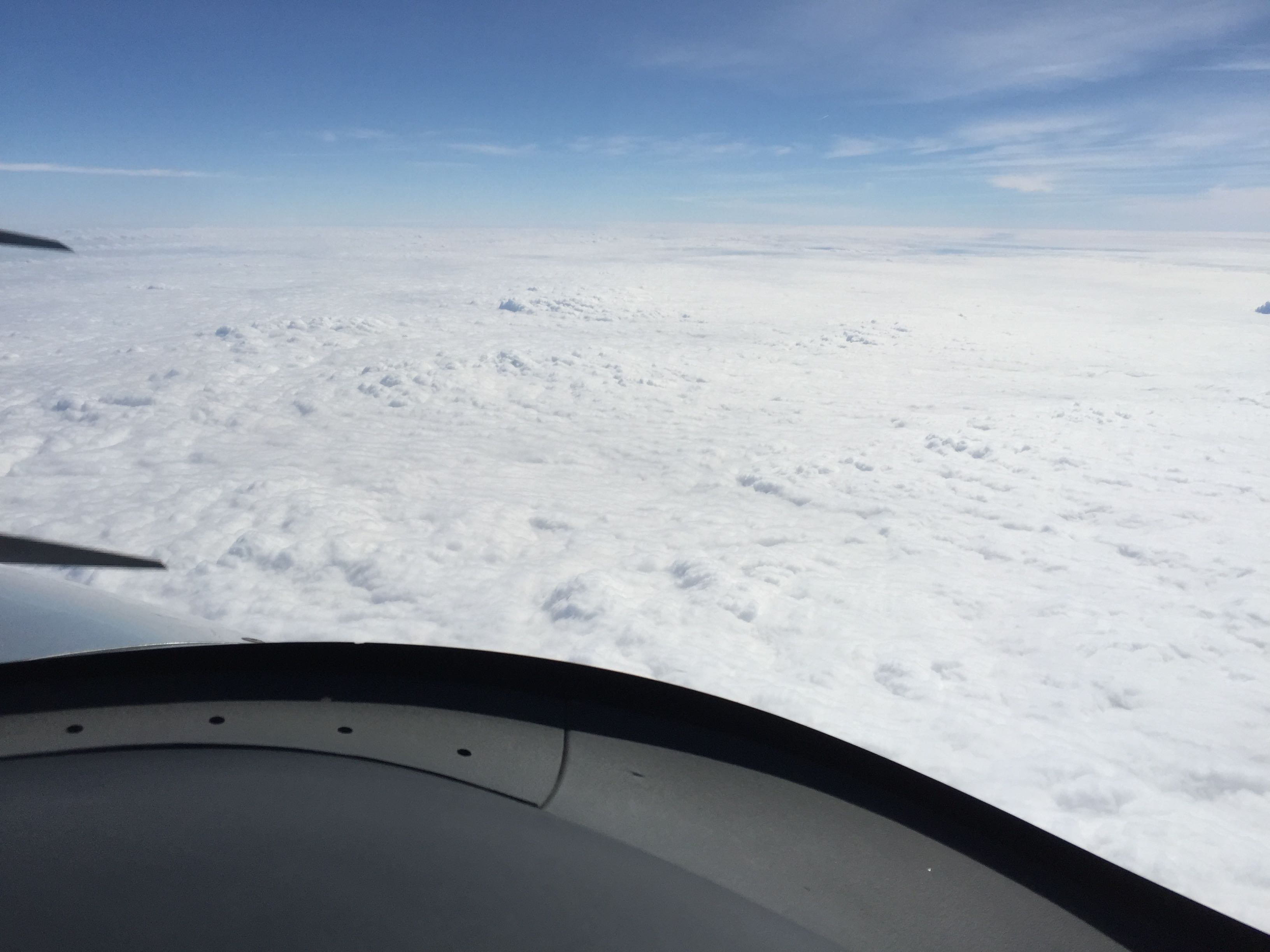
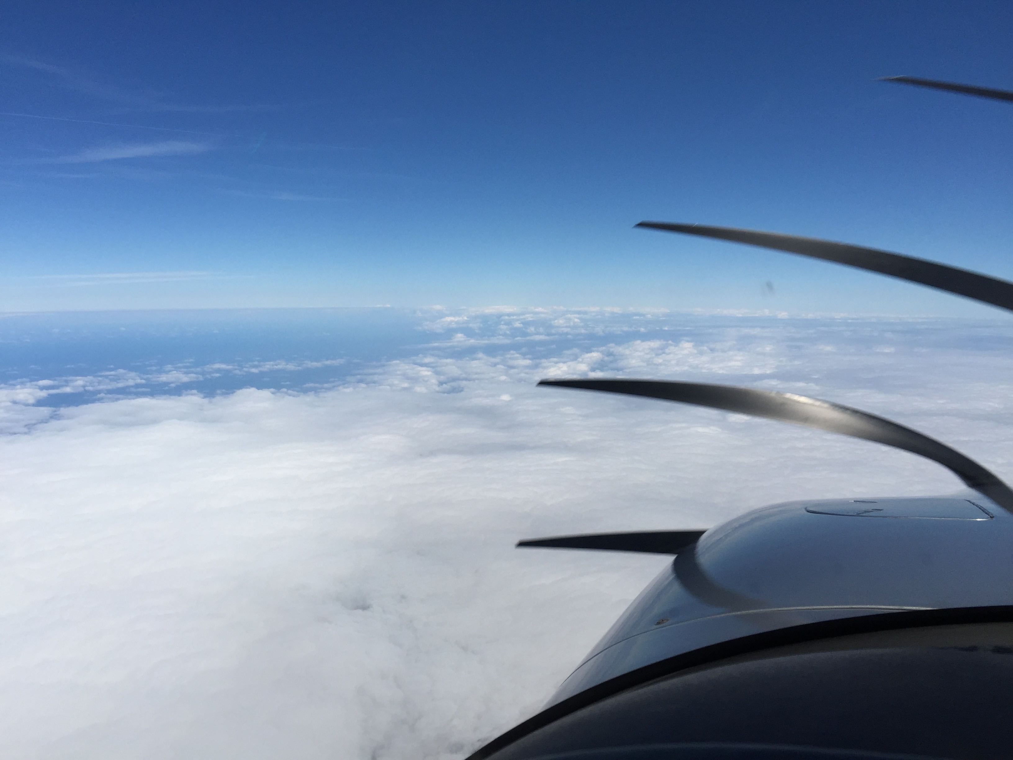
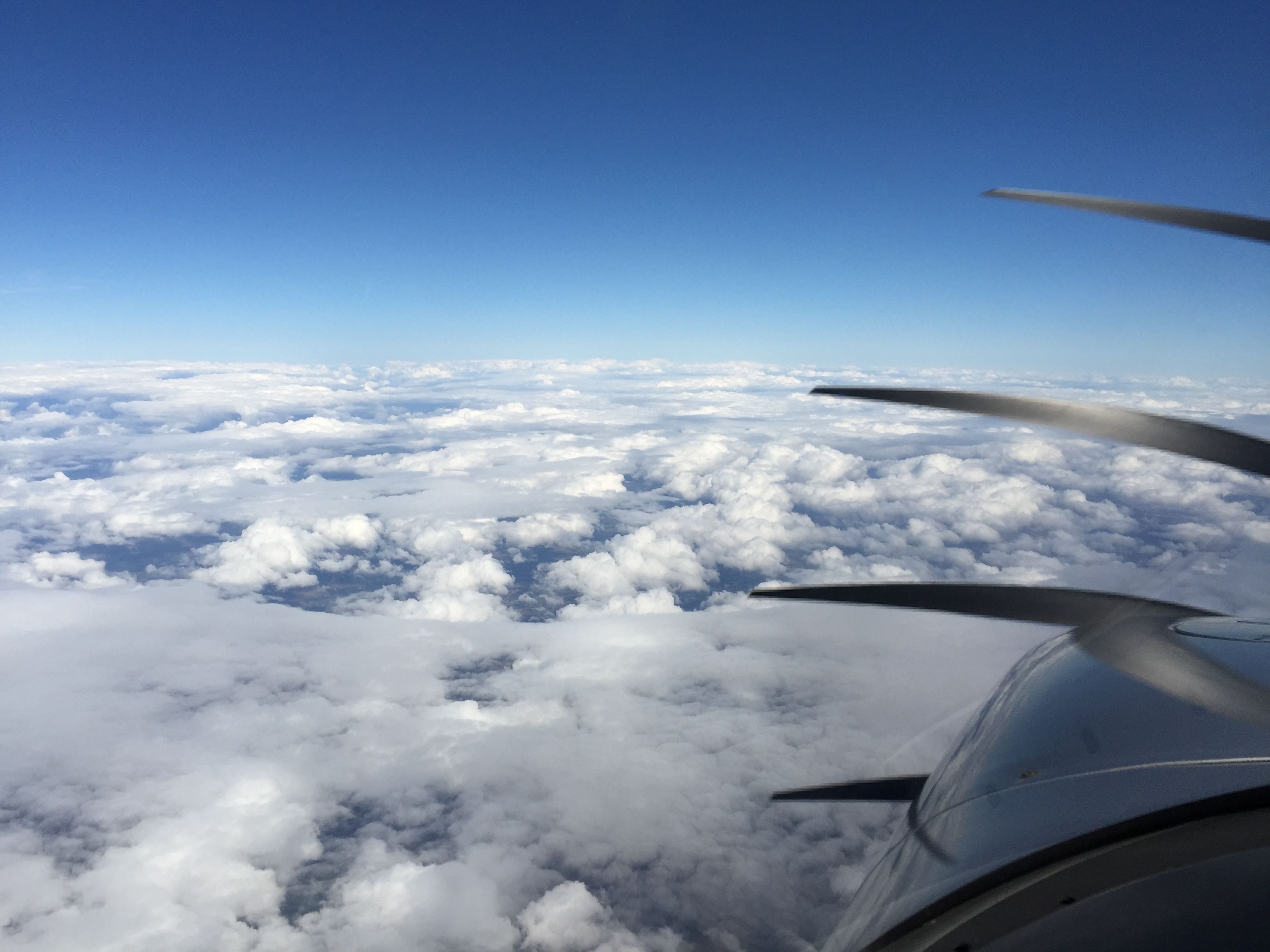
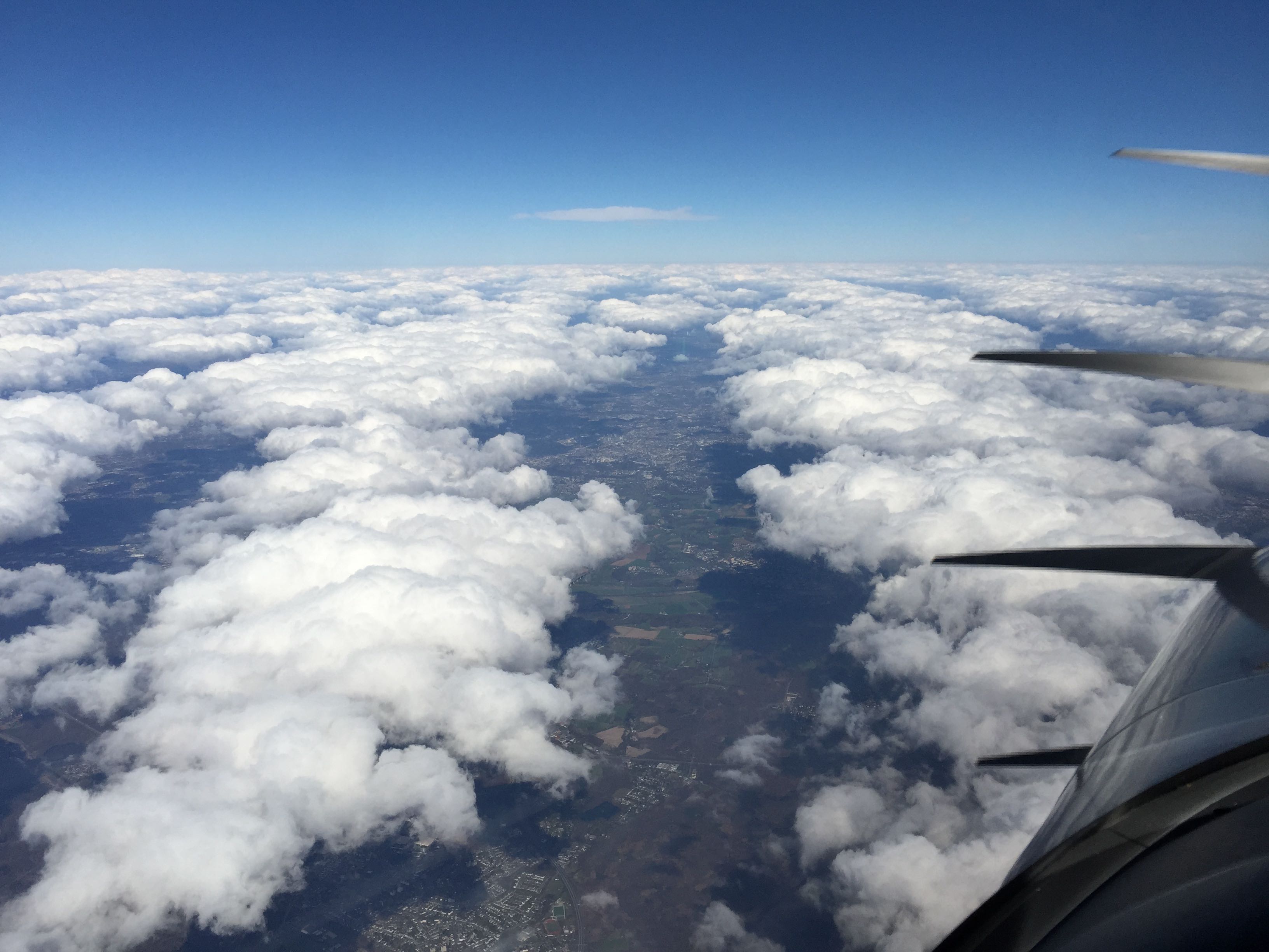
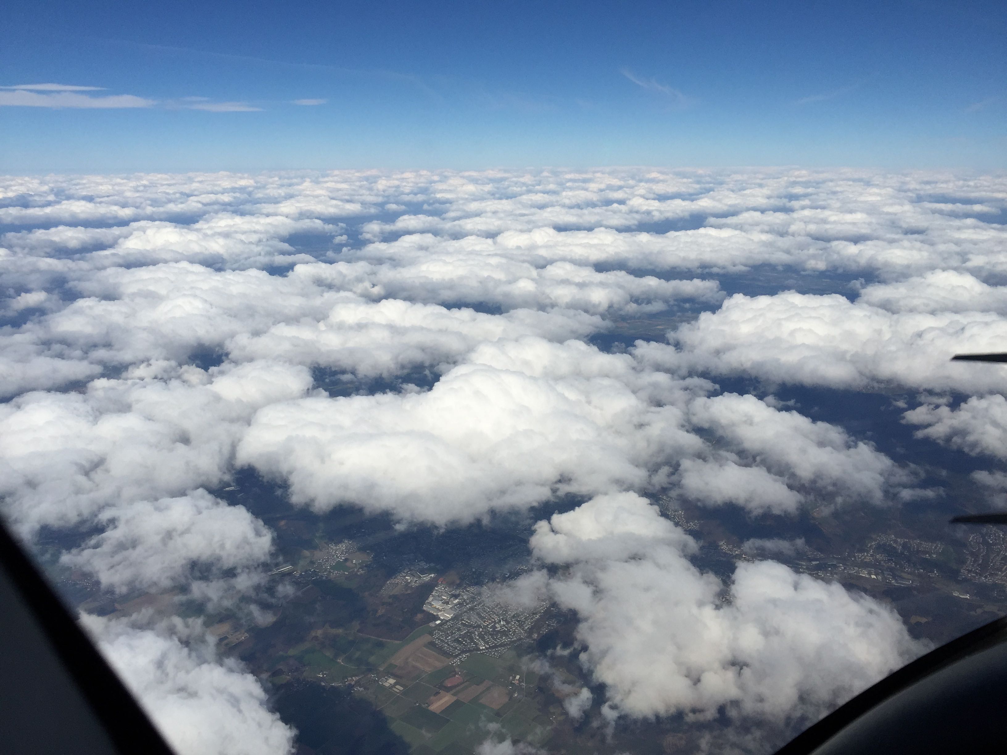
Clouds starting to dissipate
After crossing the English Channel I was now talking to Brussels Control and I could see the clouds were dissipating over the North Sea.
And also in the direction of my flight path.
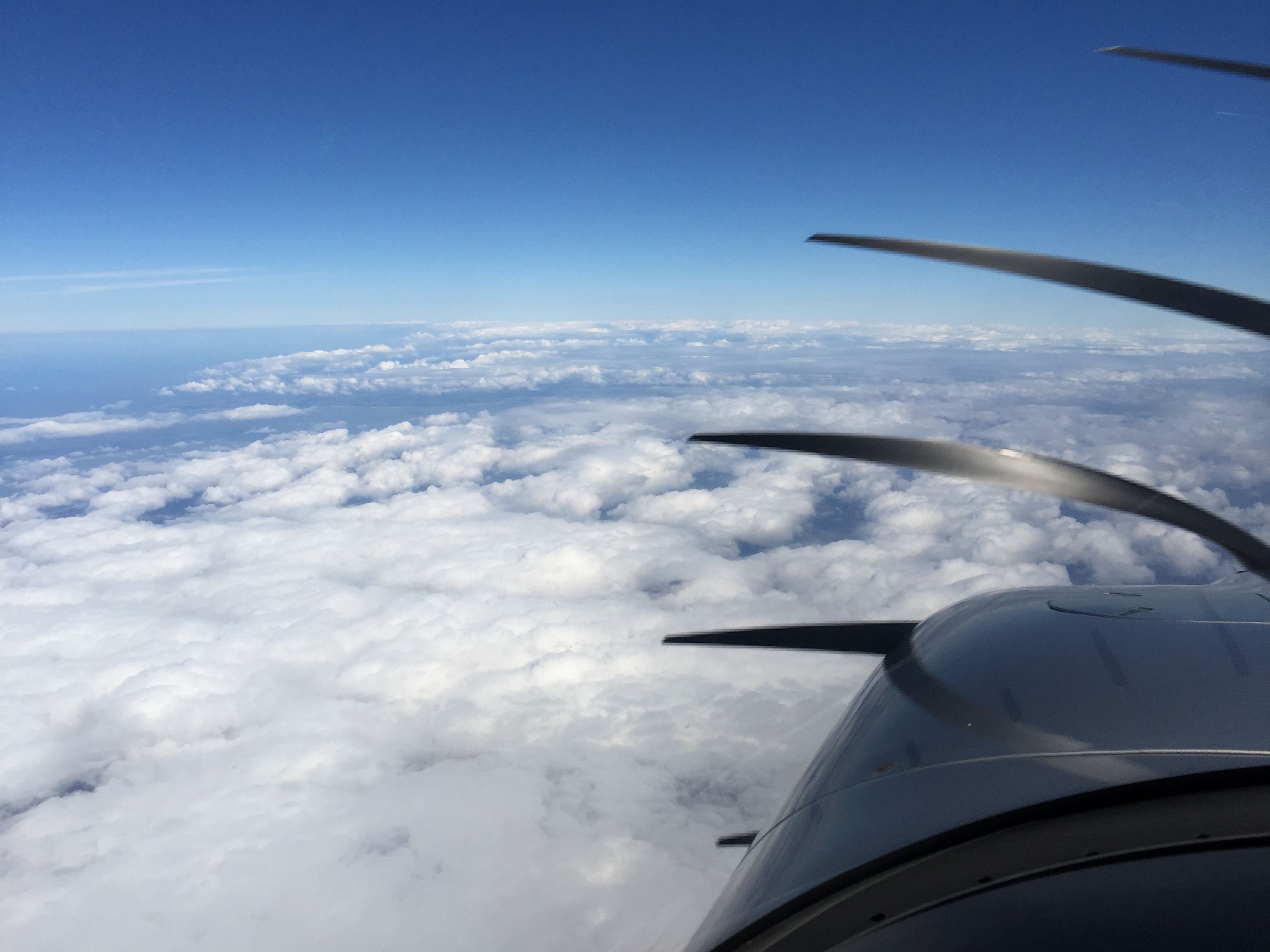
Eventually there were many holes clearly visible.
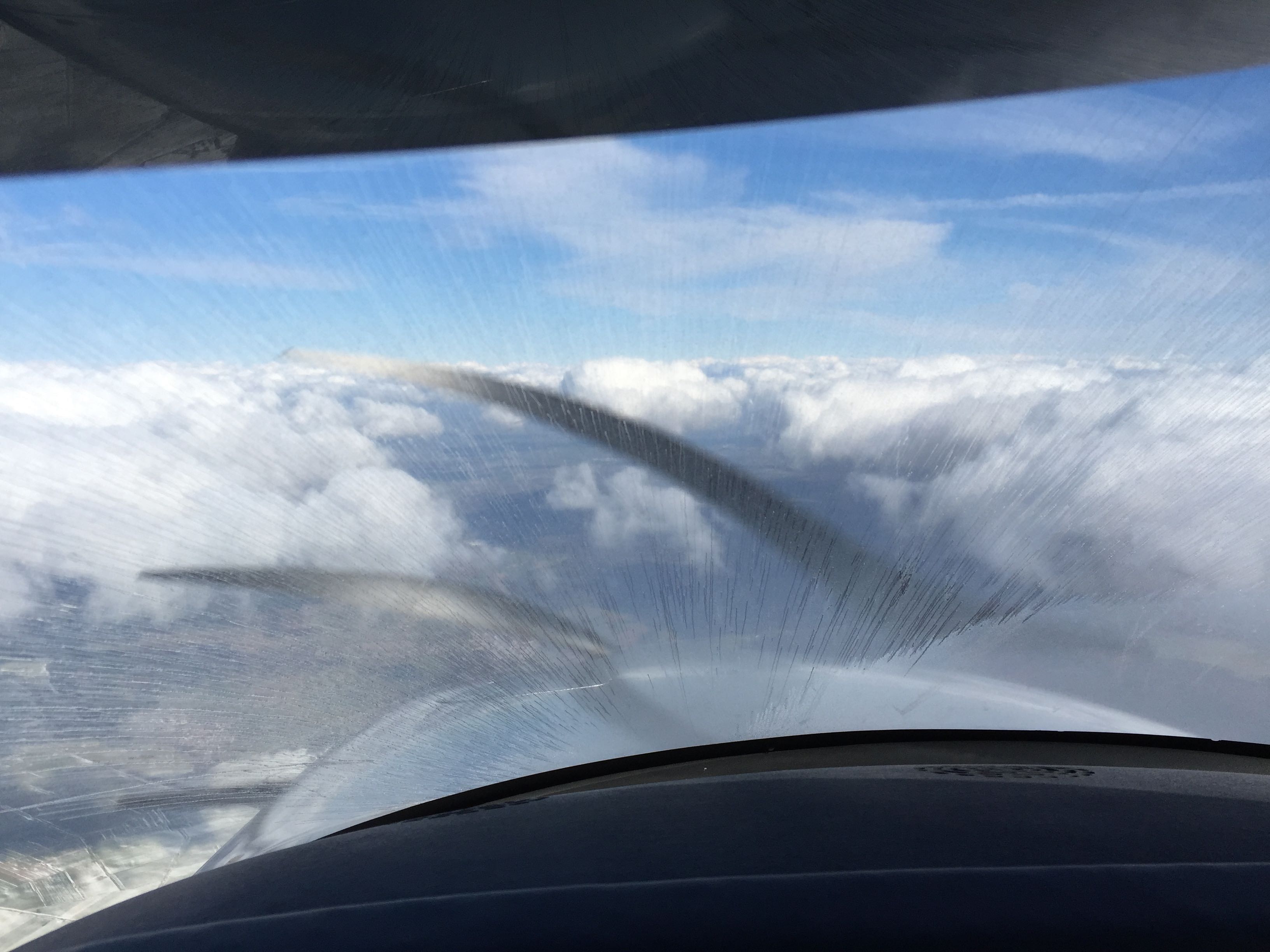
Trying out the TKS anti-icing system
N521CD has an anti-icing system that sprays TKS fluid from the propeller and pushes it out through the leading edges of the wings. I wanted to try it now at altitude and with a lot of clear air below me. So I turned it on:
The windscreen got covered with the fluid pretty quickly.
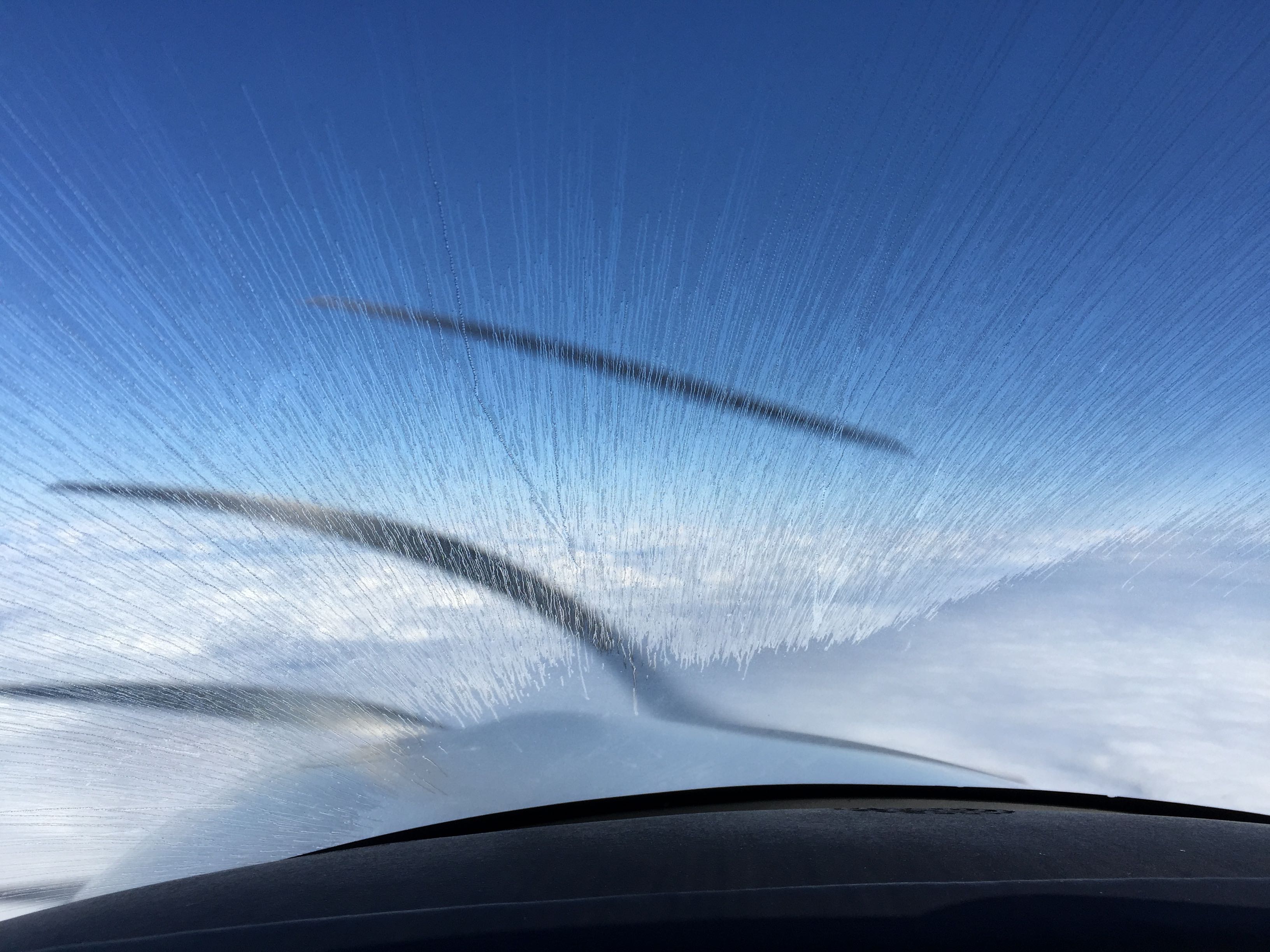
However, the wings only got wet close the root of the wing. That was not supposed to happen. The idea is that the whole wing gets covered.
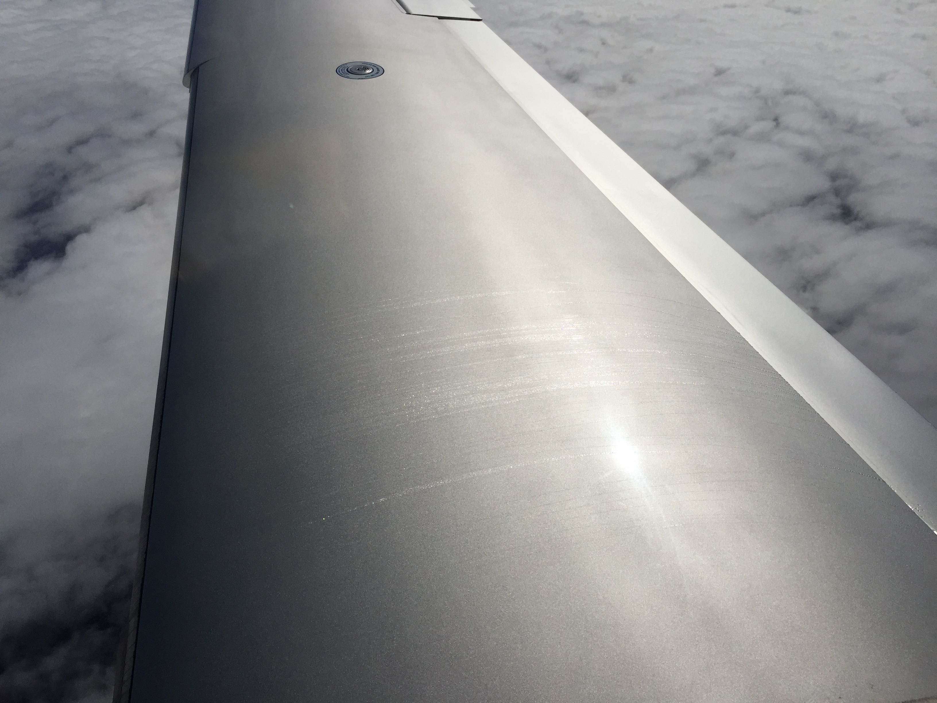
I need to learn more about the correct operation of the system and probably have it checked - probably just cleaned.
Glider on the RADAR frequency
Shortly after switching to a RADAR frequency for the Duesseldorf area I heard a glider pilot talking in German to the RADAR controller. He wanted to use one of the glider sectors to fly to another glider airfield. The clouds had formed little straights and I understand why he had gone up.
Shortcut
As common in Germany ATC had sent me direct to WRB (Warburg VOR), which is also the IAF (initial approach fix) for the ILS and RNAV approach into EDVK (Kassel). Basically after crossing into Germany I was flying in a straight line to my destination.
From FL150 down to 4’000 ft
Just as I expected to start my descent from FL150 down to about 4,000ft over WRB ATC was asking:
“N521CD advice when ready for descent”
I switched the autopilot to VNAV mode, dialed in 950ft per minute and got closer to the clouds.
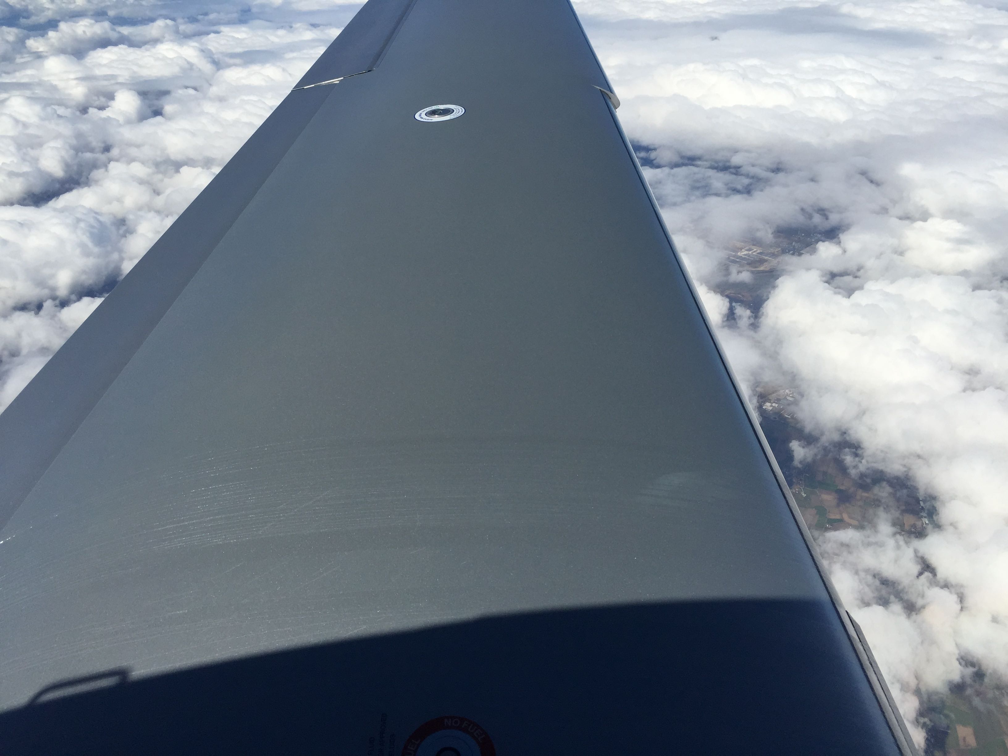
From my earlier TKS experiment my windscreen still had the fluid on. As I didn’t touch any clouds there was no water to wash it off. So it was sticking.
During further descent I touched a puffy cloud for a few seconds. That cleaned most of it.
Arrived with picture perfect weather
ATC had offered me the ILS 27 but I opted for the RNAV 27. As I was turning onto the final approach course a warning message showed up. It said: “LPV not available. Use LNAV.”
N521CD has never been in a hangar. Instead it was parked outside but wrapped in a special tarp. So for the moment I’m doing the same.
Details of the route
Just as the friendly folks at EuroGA had explained to me I departed Gloucester (EGBJ) without a proper IFR clearance. With a few exceptions most of British airspace is class G, which makes it uncontrolled. So people fly around VFR and IFR without being controlled by ATC. As one CFII at Gloucester explained to me “you just go”.
That meant that I only got the squawk (transporder code) 2030 from Gloucester Tower and also the first frequency to call but no clearance. It was pretty much the same as when departing from a VFR airport in Germany.
During the climb out I got on course to the first waypoint of my filed route, called up the lower airspace RADAR unit and checked in with them. They told me to climb initially to 5’000ft and to stay clear of uncontrolled airspace.
Shortly thereafter they said:
Cleared to join controlled airspace. Climb FL100.
That allowed me to climb into the class A airspace for the airway L9.
Once I was on L9 I got switched to London Control. My clearance got amended by:
Climb FL120
And they also began to issue me vectors for separation from climbing and descending traffic. I was able to spot them on Skywatch TAS. As you can see they sent me right and left from the airway centerline. Basically the whole time I was flying vectors instead of following the airway.
Shortly before reaching the coast I got asked about my desired further routing to which I replied:
DVR RINTI KONAN
A second later I corrected that:
Direct RINTI
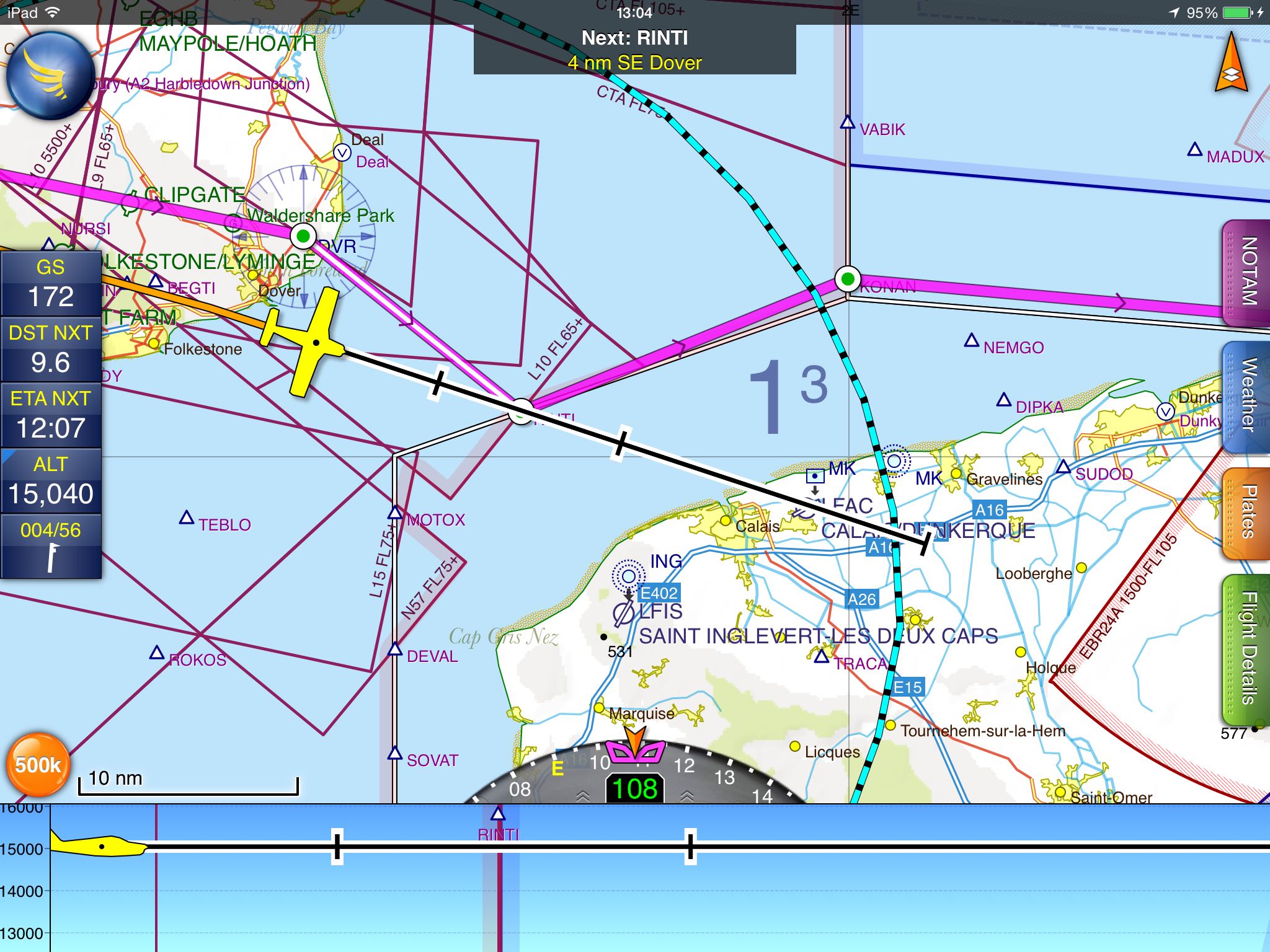
A quick glace at the map had shown me that flying towards the Dover VOR was unnecessary. Once I left British airpace I got handed off to Brussels Control and after a while to German ATC.
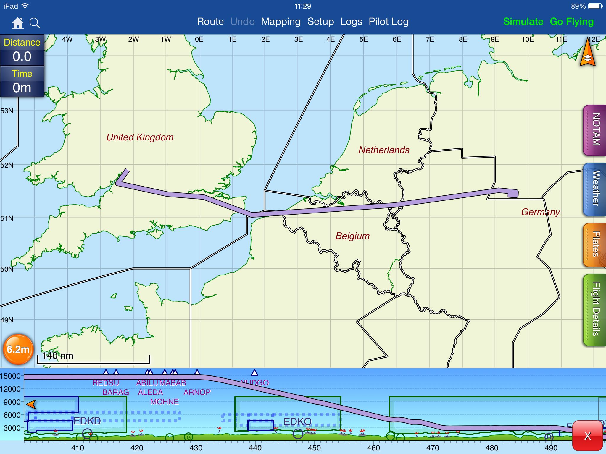
Here is an overview picture of the whole route. Below is the vertical profile showing my descent from FL150 to 4’000 ft over the Warburg VOR (WRB), which is the initial fix for the ILS/RNAV 27 at Kassel.
Video
Originally I wanted to film the whole flight. Unfortunately the GoPro camera I bought, unknowningly to me, didn’t have a audio jack and so I was not able to record my conversation with ATC. Then the camera fell off as the suction cup failed after climbing and I never bothered to attach it again. Without ATC on the video you just hear the ambient engine sound. Here is what I captured:
Briefing pack
For this flight I used autorouter to find a good IFR routing and file a flight plan. The system provided me a Briefing pack which contains also a lot of weather information for this flight. Not all of the information in this briefing pack is accurate as I still have to configure the airplane profile it uses based on the data in the POH (Pilot’s Operating Handbook) for N521CD.
| Previous | 05 Apr 2015 | Next |


About me
Hello! My name is Stephan Schwab.

I build and rescue software, and I write fiction about the human side of how it gets made. Here you’ll find my stories and novelas, notes on craft, and field notes from a life lived across several worlds.
Working with software teams is what I do professionally — see how on caimito.net. You can also read about my experience since 1986.